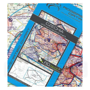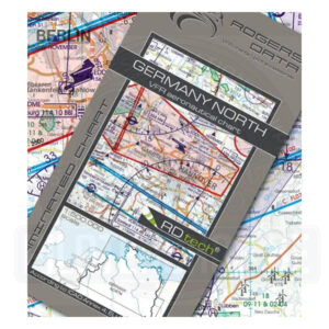
VFR Chart – The Netherlands (Ruffed – Laminated) 2026
Aeronautical data effective 19th March 2026 – The Netherlands LAMINATED
Specifications:
- Scale: 1:500.000
- Edition: 2026
- Date of publication: Aeronautical data effective 19th March 2026
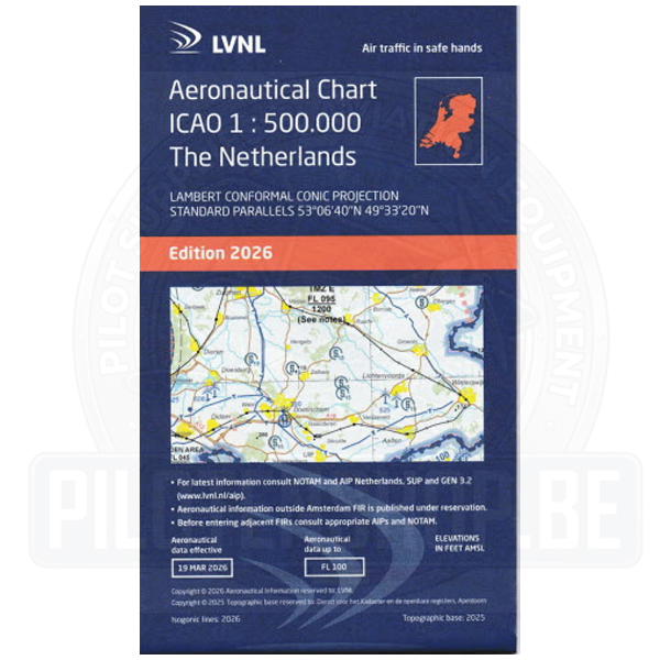
Aeronautical data effective 19th March 2026 – The Netherlands LAMINATED
Specifications
€ 18,95
Aeronautical data effective 19th March 2026 – The Netherlands LAMINATED
Specifications:
The new 2026 version of the Belgium Low Air 1:250.000 chart, the reference for VFR flying across Belgium, contains all information relevant to VFR pilots, overlayed on the Belgian topographical chart. The airspace changes dated from March 3rd 2026, like the new Restricted Areas around the harbors of Antwerp, Ghent and Zeebrugge, EBR20 (Brasschaat) & EBR21 (North Sea), reporting point Duffy are all included…
This chart is available in 2 versions: Printed on 1 sheet, recto/verso – North and South – for easy cockpit management when flying between North and South areas; available in paper and in laminated form
It contains vital information about Belgian Airspace structure and topography:
On the side, you can find a legend with more helpful information, like an overview of the Belgian airspace structure, ATIS and VOLMET frequencies, symbol interpretation, etc.
Specifications
The new 2026 version of the Belgium Low Air 1:250.000 chart, the reference for VFR flying across Belgium, contains all information relevant to VFR pilots, overlayed on the Belgian topographical chart. The airspace changes dated from March 3rd 2026, like the new Restricted Areas around the harbors of Antwerp, Ghent and Zeebrugge, EBR20 (Brasschaat) & EBR21 (North Sea), reporting point Duffy are all included…
This chart is available in 2 versions: Printed on 1 sheet, recto/verso – North and South – for easy cockpit management when flying between North and South areas; available in paper and in laminated form
It contains vital information about Belgian Airspace structure and topography:
On the side, you can find a legend with more helpful information, like an overview of the Belgian airspace structure, ATIS and VOLMET frequencies, symbol interpretation, etc.
Specifications