Description
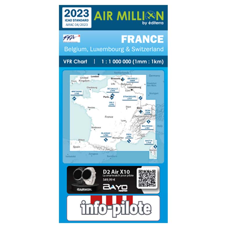
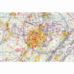
Discover the beauty of France from the skies with the 2023 Air Million VFR chart of France. This updated 2023 Air Million France chart showcases a scale of 1:1,000,000, providing pilots with complete coverage of all airspace from SFC up to FL180, along with details of areas of class A to E, and nearly 1,000 airports, AIP courses, private or ULM (BASULM), all prohibited areas, restricted and dangerous zones, natural parks, VFR reporting points, radio navigation aids (VOR, NDB, and VOR-DME), and more! Whether you’re an experienced pilot or just starting out, this comprehensive Air Million 2023 VFR chart of France has everything you need to explore the rich landscape of France from above.
Get your copy of the 2023 Air Million VFR chart of France today and start exploring!
This chart is printed on waterproof paper for using in wet conditions. The map includes both ICAO and MIL symbols, as well as an easy to use legend guide with all necessary information for a successful flight. For added convenience when referencing areas of interest or features, there are three unique indexes located at the back of the document: airports index, radio navigation aids (VOR/NDB/VOR-DME) index and reporting points index. With our world class customer service and quick delivery time frames, this chart can be yours in no time! So order your 2023 Air Million VFR Chart of France now and get ready to navigate.
LAST UPDATE AIP: AIRAC 3/23 (April 20th 2023)
Product dimensions: Folded 128 x 257mm / Unfolded 1,416 x 1,030mm / Printed on thick paper, double-side
Weight: 160g
Air Million charts
Explore Europe with ease using the 13 Air Million charts. Our team of expert cartographers has worked closely with airspace professionals to design and create these charts, ensuring they provide pilots with everything they need to navigate through all of Europe. The duplex maps are printed on high-quality coated paper, with a scale of 1:1,000,000 (or 1:500,000 and 1:250,000, depending on the chart used). They showcase essential AIP information, making it easy for pilots to access the most comprehensive map available. With these charts, exploring Europe from above has never been easier. Maps
-
- Airfields and microlight airfields
- Airspaces between H05 and FL195 (controlled areas from class A to class E, restricted areas, military training areas…)
- Natural sites
- Radio navigation aids en-route
- VFR routes and reporting points
- Obstacles
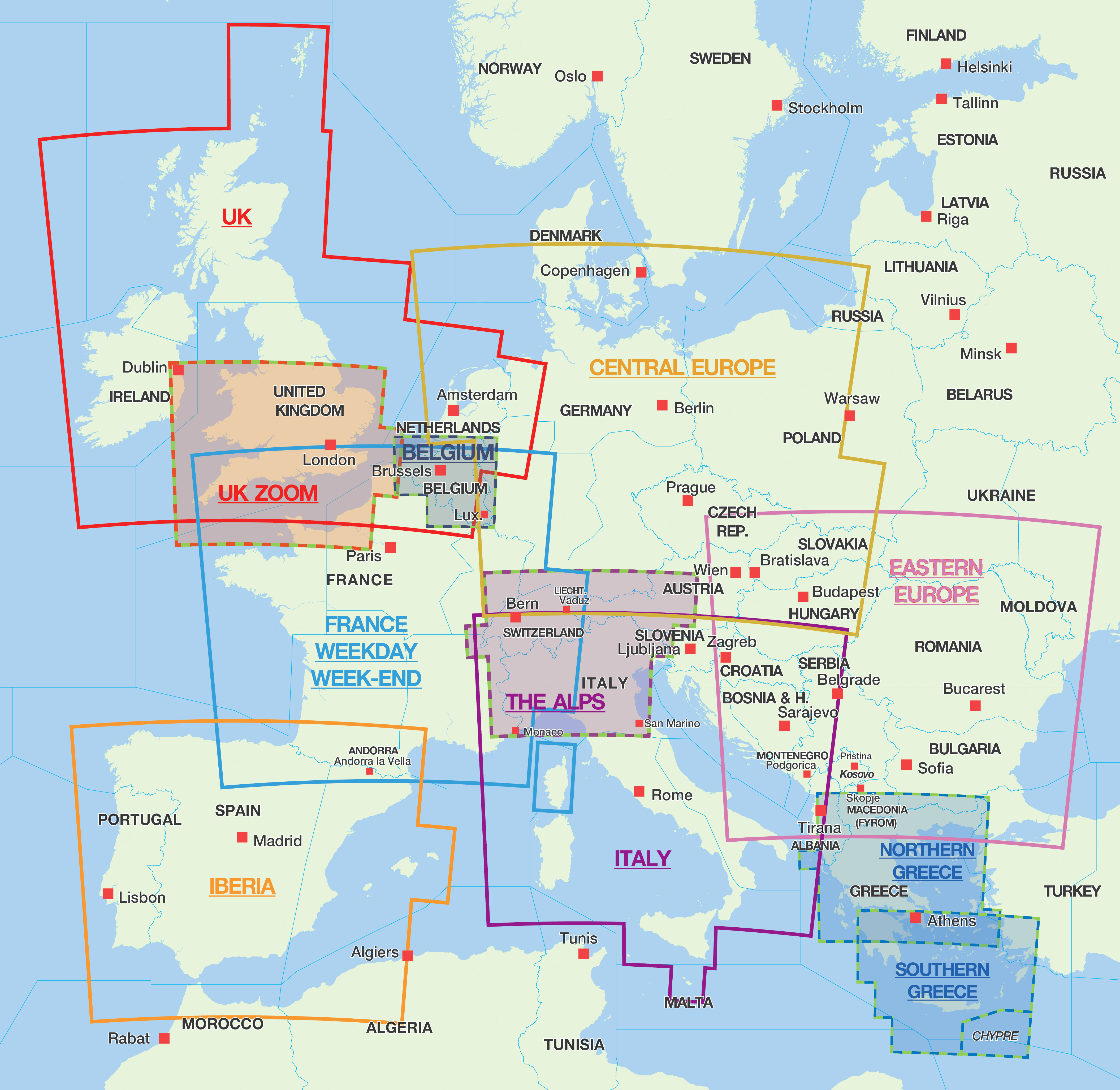
The following 2023 Air Million charts are available:
- The Alps (1:500.000)
- Benelux (Belgium, the Netherlands, Luxembourg) Zoom (1:250.000)
- Caribbean & French West Indies (1:250.000)
- Central Europe – Germany (Austria/Czech Rep/Denmark/Netherlands/Poland/Slovakia)
- Eastern Europe (Bosnia & Herzegovina/Bulgaria/Czech Rep./Poland/Serbia/Slovakia/Romania/Ukraine)
- France (including parts of Belgium, Luxembourg and Switzerland)
- Morocco (1:1000.000)
- Greece & Northern of Balkans (1:500.000)
- Greece & Southern of Balkans (1:500.000) + Cyprus
- Iberia (Spain/Portugal)
- Italy (Austria/Bosnia & Herzegovina/Corsica/Croatia/Malte/Slovenia/Serbia/Switzerland)
- Southern England & Wales (Zoom 1:500.000)
- United Kingdom and Ireland (including BeNeLux)


